Woodland owners, forester and outdoor enthusiasts all benefit from knowing where they are in the woods, recording specific locations such as trails or notable features, and being able to save and integrate those with exiting geo-referenced data. A geographic capability can be helpful, but historically these skills were not accessible to most owners and foresters due to limits of a prolonged learning curve, high costs, or access to the technology/devices and proper training.
Cornell Extension will hold two one-hour Forestry Application of User-Friendly GIS/GPS – Part 1. Forest Connect webinars on September 15th at noon and 7 pm.
New York’s Warren County Soil and Water Conservation District (SWCD) is presenting a two part series on the use of accurate but low-cost devices and free (or really inexpensive) software. This series is intended for beginner users of GPS and GIS who are comfortable with the use of apps on a smart phone. Prior users of a GPS unit (those who can mark a waypoint or track) will benefit by learning how to integrate that data with easily accessible geo-referenced data (e.g., soils, historic maps).
Part I on September 15th has three objectives.
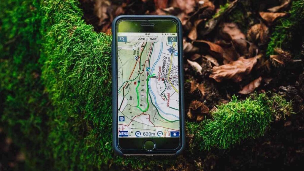
First, to illustrate the combination of your smart phone with a Bluetooth enabled receiver and readily available apps in the woods to take data points and tracks, that are reasonably accurate even in some cases with a dense forest canopy.
Second, to guide the novice, non-GIS savvy individuals with visualizing how to use that data.
Third, how to utilize various and surprisingly powerful tools found within Google Earth for landowner or professional goals.
To take part in one of these webinars, register at https://cornell.zoom.us/webinar/register/WN_5IRFqn7oSYm5D-Vyqb8-3Q
If prompted for a password use “Cornell”.